


Description
Product Overview
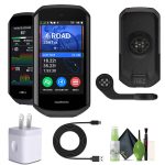
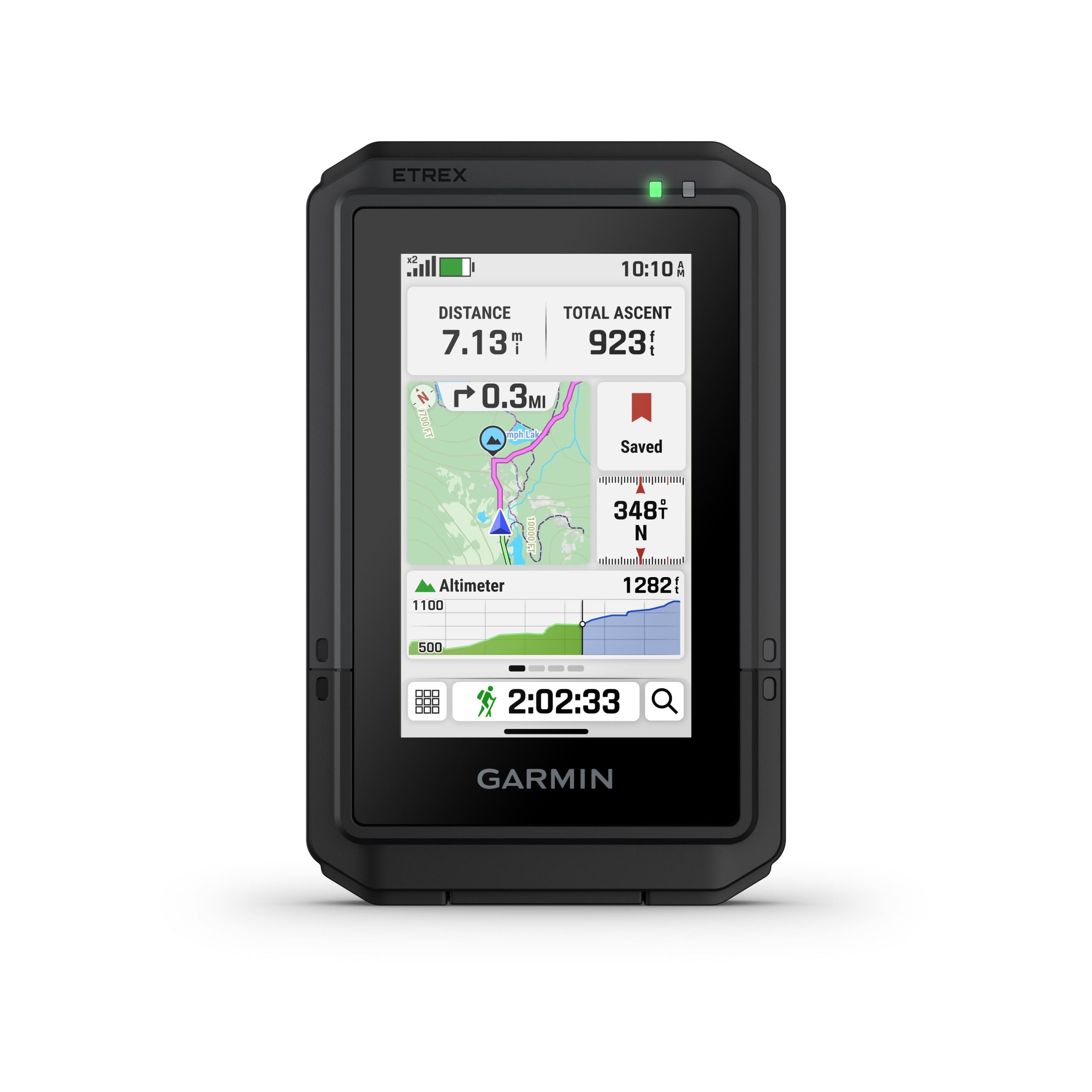
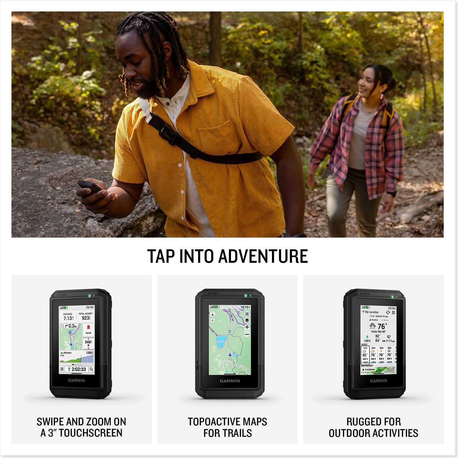
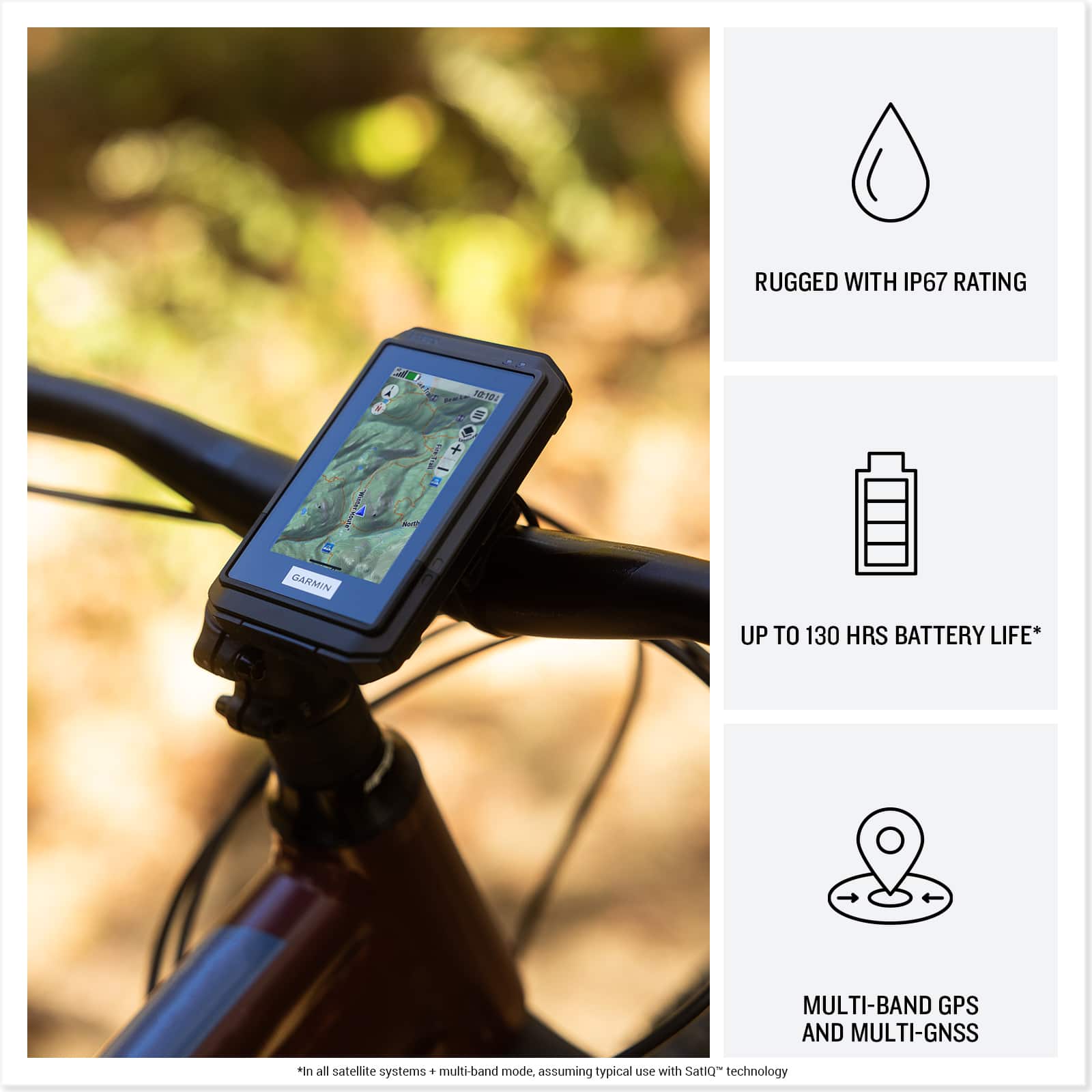
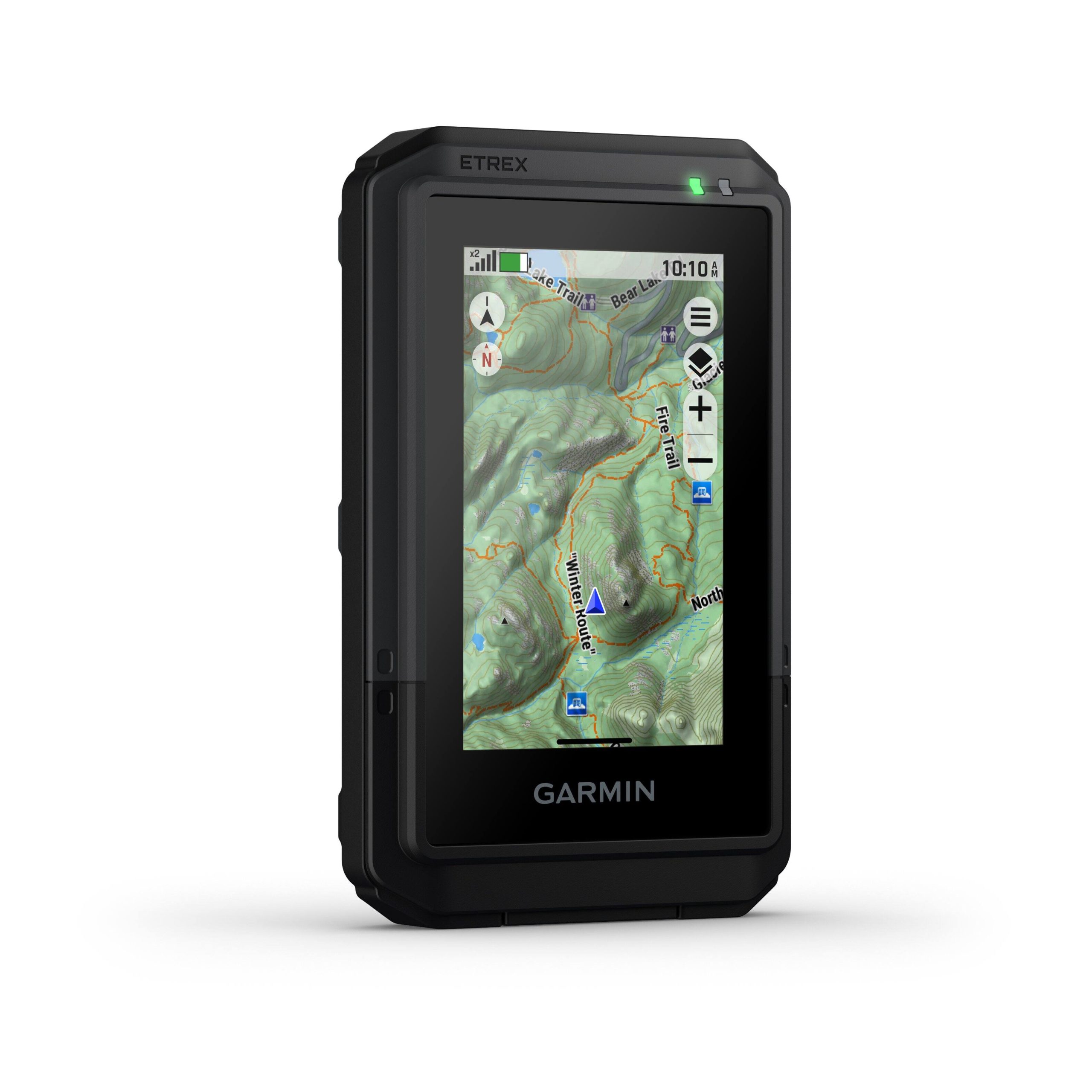
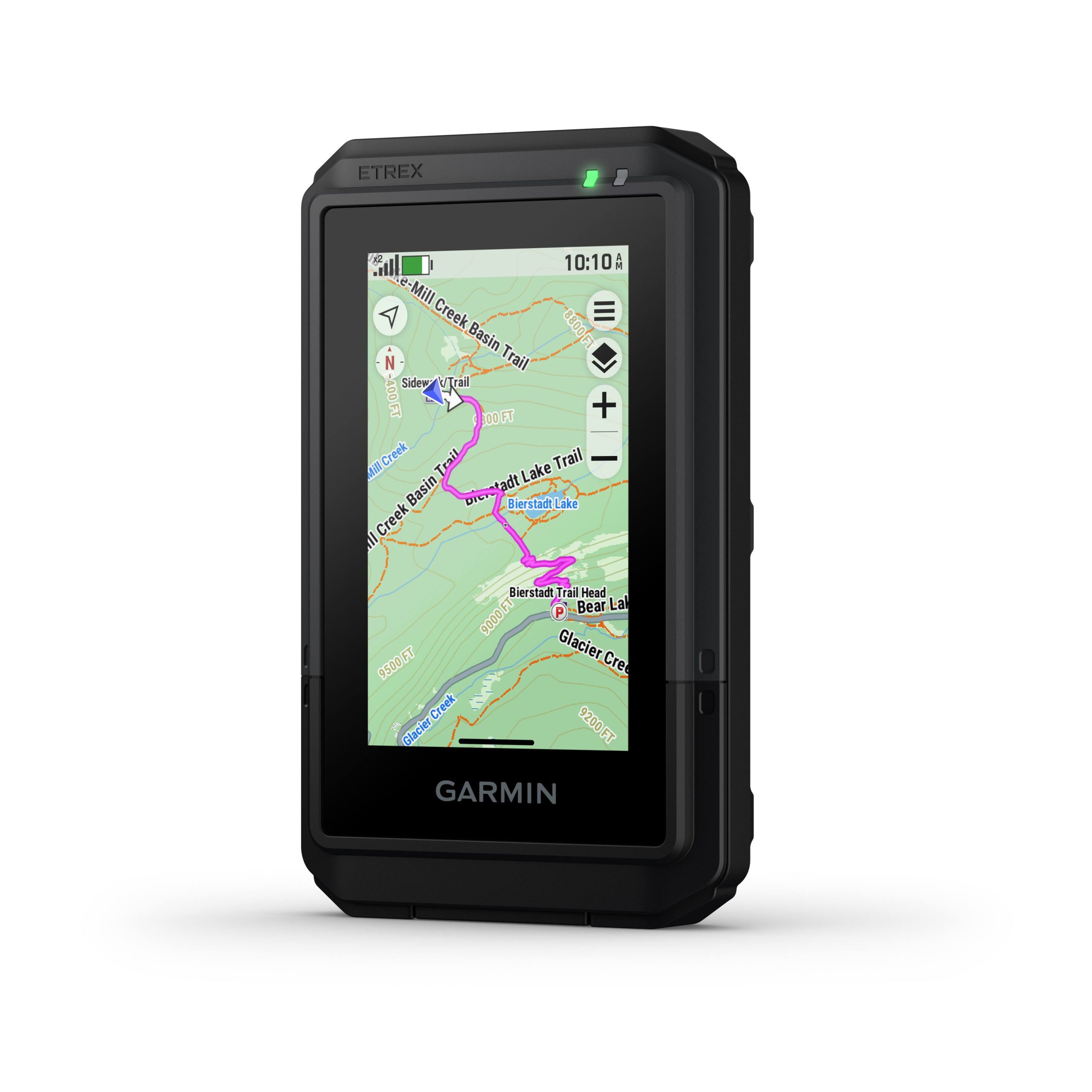
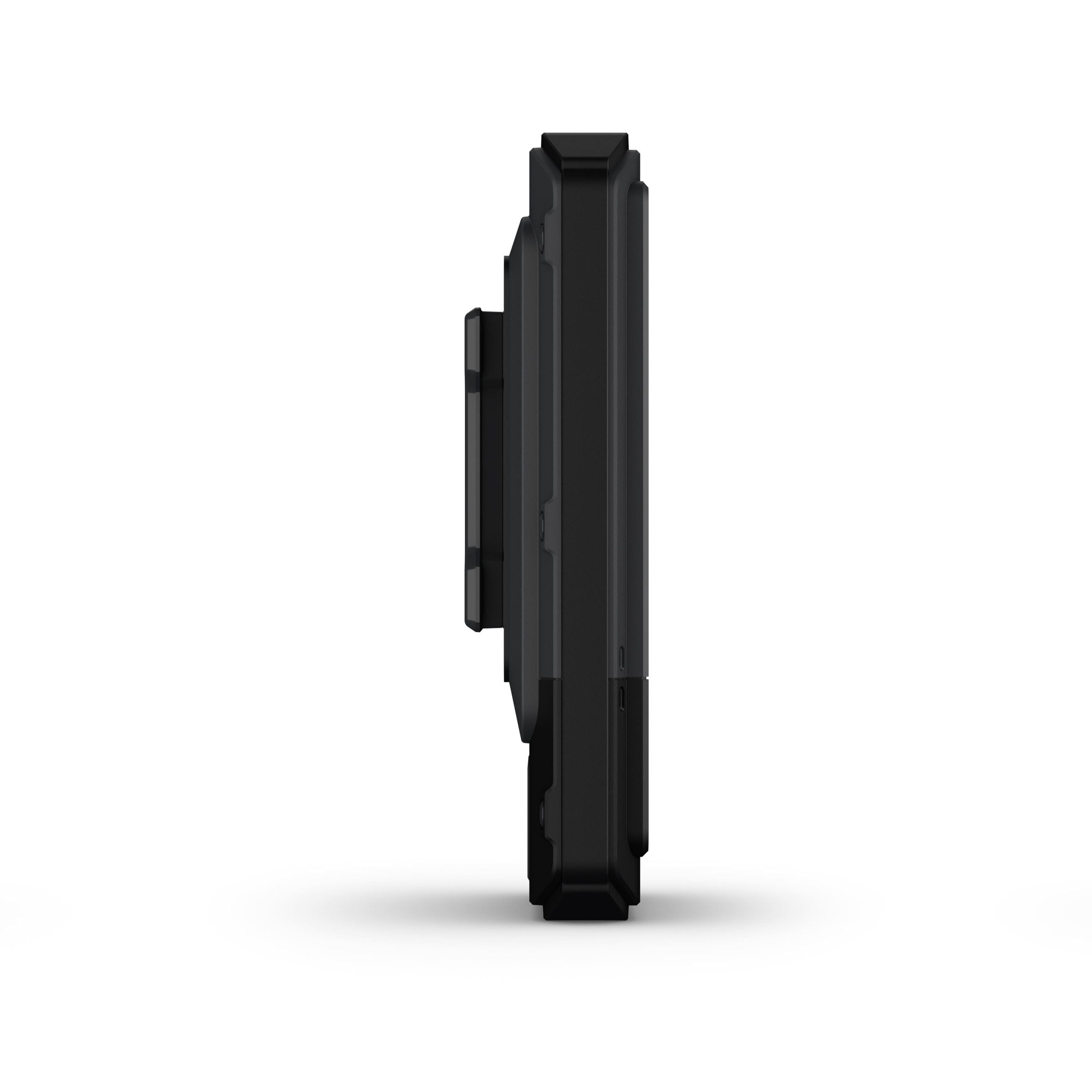
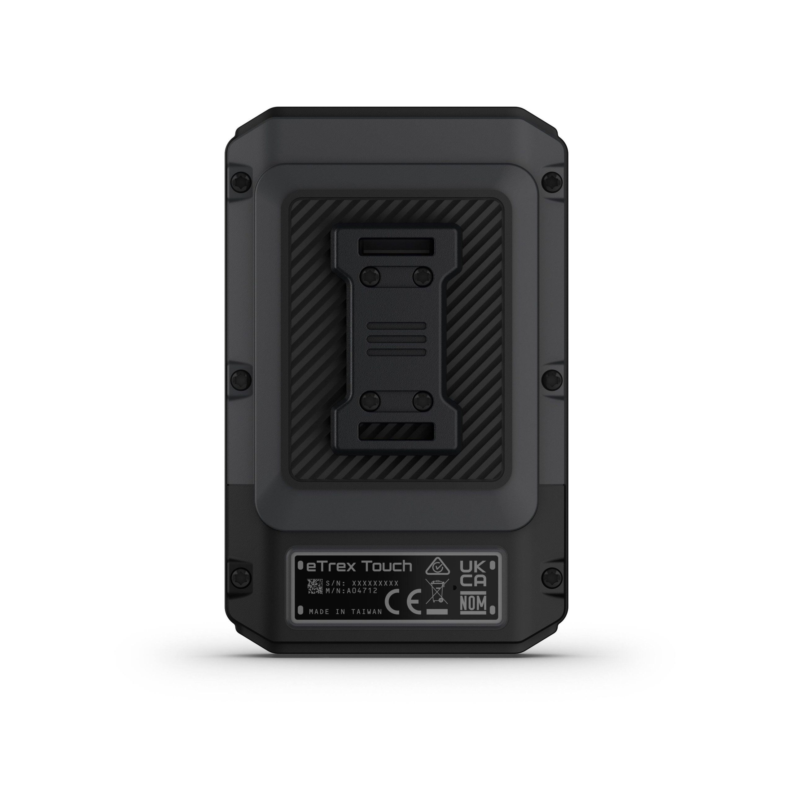
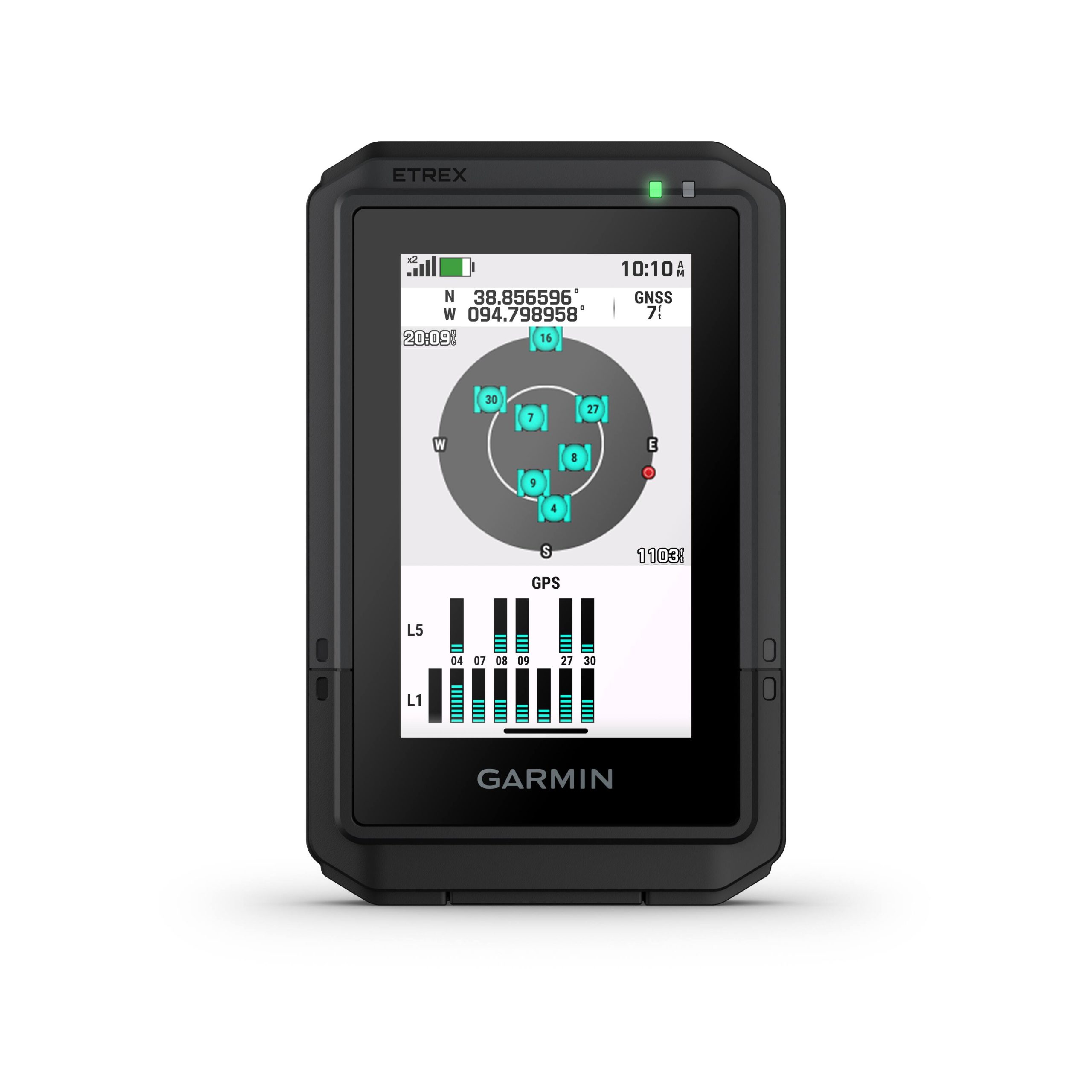
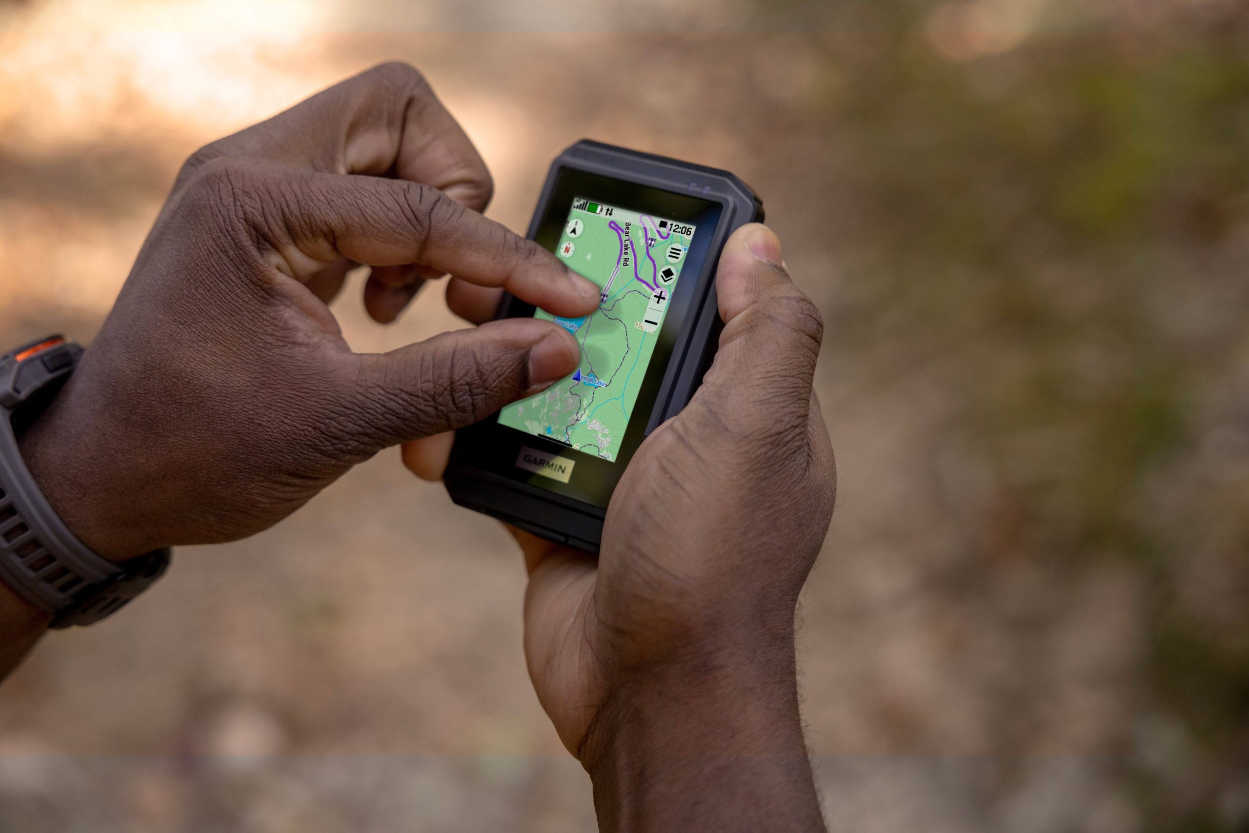
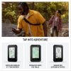
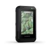
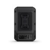
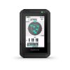
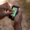
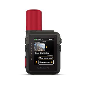
The Garmin eTrex Touch is a compact, high-performance GPS handheld navigator designed for outdoor enthusiasts. It features a 3-inch high-resolution color touchscreen for intuitive navigation, allowing users to swipe and zoom effortlessly. Built to endure harsh conditions, it boasts an IP67 water rating and meets MIL-STD-810 standards for impact resistance. Preloaded with detailed TopoActive maps for North America, it displays terrain contours, trails, rivers, and points of interest. Additional features include Bluetooth connectivity, access to Outdoor Maps+ subscriptions for premium content, and SatIQ technology for optimized battery performance, delivering up to 130 hours of use. The device comes with a charging cable and documentation, ensuring it’s ready for adventure right out of the box.

Usage
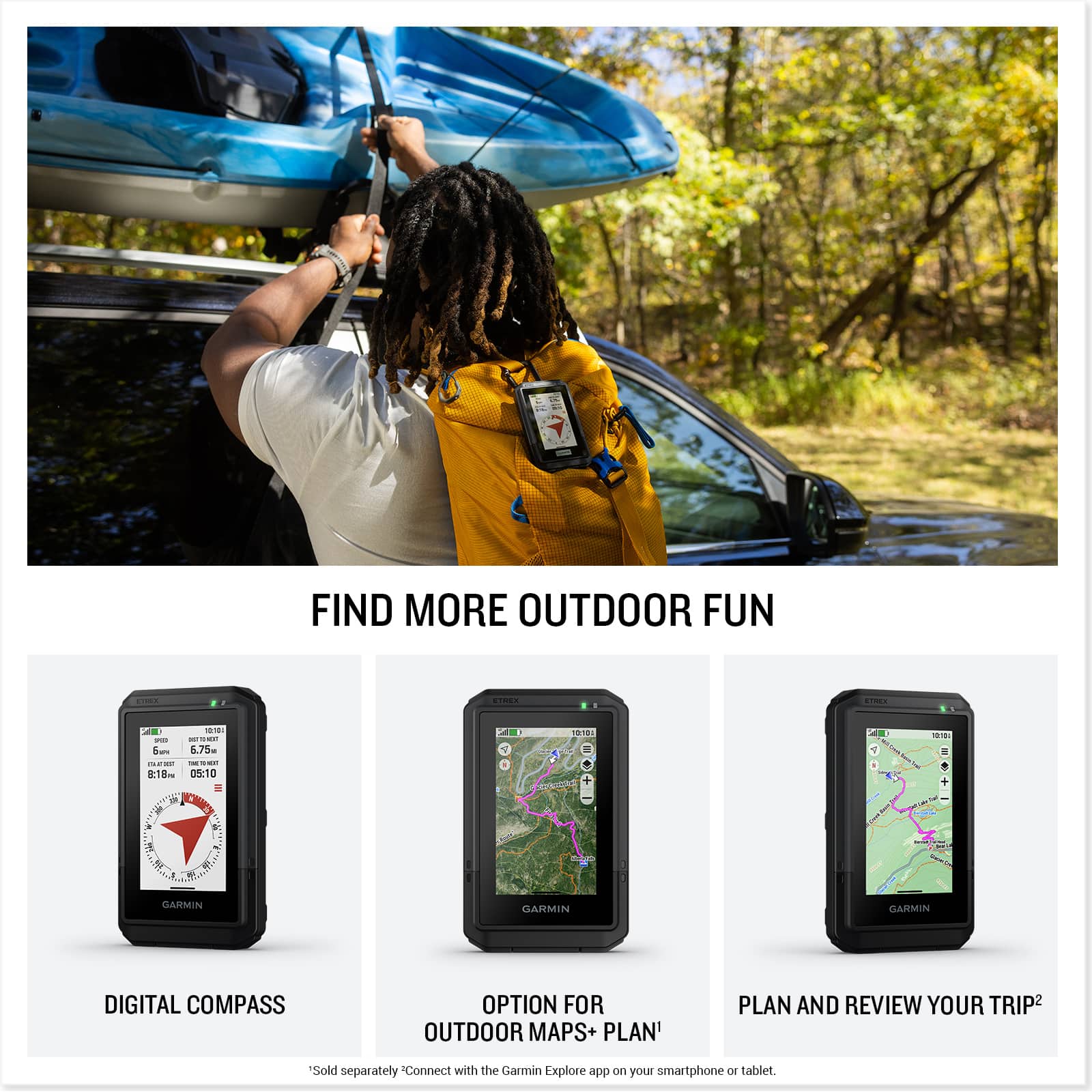
This GPS navigator is ideal for a variety of outdoor activities, including hiking, camping, geocaching, and backpacking in remote or rugged terrains. Its durable construction makes it suitable for use in wet or extreme weather conditions, while the preloaded maps and real-time weather updates help users stay informed and safe. Target audiences include avid adventurers, trail runners, and professionals in surveying or rescue operations who require reliable, portable navigation tools.
Why Choose Us
The Garmin eTrex Touch stands out due to its robust build quality and advanced features tailored for outdoor reliability. Unlike basic GPS devices, it combines a user-friendly touchscreen with long-lasting battery life and access to global mapping through TopoActive and Outdoor Maps+. Garmin’s reputation for precision and durability ensures this product delivers accurate navigation and withstands the elements, backed by trusted craftsmanship and seamless integration with the Garmin Explore app for enhanced trip management.
Key Features
- Bright 3-inch high-resolution color touchscreen for easy map navigation and zooming
- Rugged IP67 waterproof and MIL-STD-810 impact-resistant design for durability in harsh conditions
- Preloaded TopoActive maps with detailed terrain, trails, and points of interest for North America
- Long battery life up to 130 hours with SatIQ technology and expedition mode for extended use
- Connectivity via Bluetooth and Wi-Fi for real-time weather updates and trip planning with the Garmin Explore app
FAQ
What maps are included with the Garmin eTrex Touch?
The device comes preloaded with TopoActive maps for North America, featuring roads, trails, terrain contours, and thousands of points of interest. Additional global mapping can be accessed through Outdoor Maps+ subscriptions.
Is the Garmin eTrex Touch waterproof?
Yes, it has an IP67 rating, meaning it is waterproof and can withstand immersion in water up to 1 meter for 30 minutes, making it suitable for rainy conditions or accidental splashes.
How long does the battery last on a single charge?
Battery life varies by mode; it can last up to 130 hours in standard use with all satellite systems and SatIQ technology, and up to 650 hours in expedition mode for long-term adventures.
Can I plan routes using a smartphone?
Yes, by connecting to the Garmin Explore app via Bluetooth, you can plan routes, review trip data, and manage waypoints on your smartphone or tablet for convenient pre-trip preparation.
Does it support real-time weather updates?
Real-time weather forecasts are available with an active internet or Wi-Fi connection, or when paired with the Garmin Explore app on a smartphone, helping you stay aware of changing conditions.
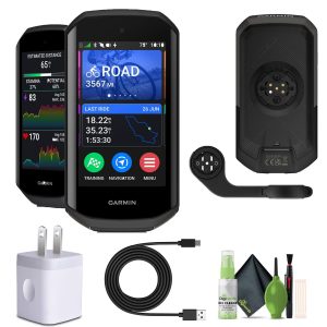
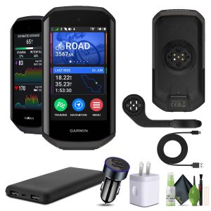 Garmin Edge 1050 Cycling Computer Vivid Touchscreen Bundle
 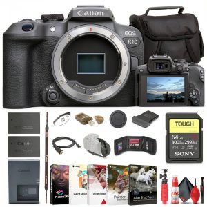 Canon EOS R10 Mirrorless Camera 24MP APS-C 4K Video
 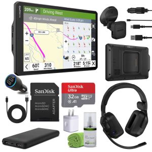 Garmin Dezl OTR1020 GPS Truck Navigator 10 Inch Professional
 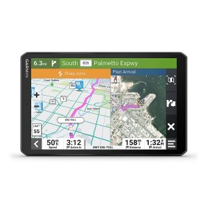 Garmin RV 895 GPS Navigator Bluetooth 8 Inch Display
Reviews
There are no reviews yet.